MANUFACTURING
USGS selects Woolpert for Geospatial Products and Services Contract 4
The shared capacity contract will support federal, state, and municipal government needs across the U.S.
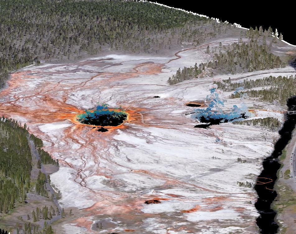
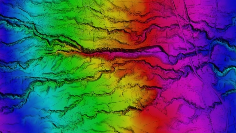
Woolpert has been selected by the U.S. Geological Survey to provide mapping and survey services throughout the United States and its territories under its shared capacity Geospatial Products and Services Contract 4 (GPSC4), which has a ceiling of $850 million. These services include imagery and lidar data acquisition, photogrammetric mapping, GIS development, ground control survey, and data processing and analysis. 
This is the latest in the GPSC suite of contracts that enables federal, state, and municipal government entities to partner with USGS to fulfill a wide range of geospatial mapping requirements. Primarily awarded under the umbrella of architecture and engineering, these contracts are administered through the National Geospatial Technical Operations Center and support the USGS 3D Elevation Program.
“USGS, through its 3DEP program and numerous other efforts, is essential to the nation’s acquisition of critical public geospatial data in support of multiple agencies, initiatives, and applications,” Woolpert Vice President John Gerhard said. “We have been honored to support the USGS and the 3DEP program for many years. Through GPSC4, we are excited to continue to partner with USGS and to provide new technologies that address the world’s evolving and expanding geospatial data needs.”
Under GPSC3, Woolpert received 62 task orders for the acquisition and processing of more than 420,000 square miles of topographic and bathymetric lidar data in support of 3DEP. 
The GPSC4 contract is now underway.
