RETAIL
Missouri S&T builds smart, connected farms that assist agricultural hazard management
Farming communities face many threats to their livelihood – pest migration, disease spore dispersal, adverse weather, and weed spread to name a few. Researchers at the Missouri University of Science and Technology are developing infrastructure for intelligent and connected farms to improve timely data sharing so that communities can better respond to production threats that expand beyond individual farm boundaries. 
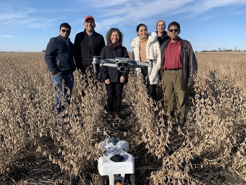
“Many farms have cameras and sensors on the ground to monitor hazards, but they don’t have the capability to transmit data very far because broadband access is limited,” says Dr. Sajal Das, the Daniel St. Clair Endowed Chair in computer science at Missouri S&T. “We’re developing a communication infrastructure using drones and Wi-Fi-enabled farm machinery to monitor large areas of land and improve real-time data collection.”
In addition, the network can monitor water, pesticide, and fertilizer needs, saving farmers time and money by informing them which sections of land need additional irrigation, suffer from pests, or require fertilizer so that they don’t treat entire fields unnecessarily.
The network uses multi-band dynamic spectrum access, which means there are many wireless radio frequencies to choose from. Das says rural areas have a lot of unlicensed bands that could be tapped at nearly zero cost, but there are challenges.
“Licensed frequency bands, such as those used for radio, TV or cell phones, are reliable and offer better performance than unlicensed frequency bands,” says Das. “Unlicensed frequencies are low cost and easy to deploy, but interference is common.”
Das says the research area covers 50 square miles of agricultural land in Iowa and includes 10 corn and soybean farms. While the geographical area is relatively small, Das says the data-sharing infrastructure being developed is scalable and can be replicated in other agricultural regions. It also incorporates machine learning and data analytics to preserve users’ privacy.
